GPS Location Stamps
Place a clear location label on the image so viewers know exactly where it was taken without opening any file details.
GPS Map Camera gives your photos more meaning by adding GPS coordinates, location details, date, time and a map stamp in just a few simple steps. Whether you are documenting work, recording a journey or saving a special moment, keep every important detail with your photo.
 GPS Map Camera
A simple way to place real location details directly onto a picture.
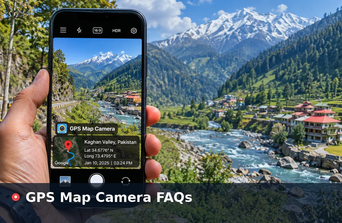
GPS Map Camera is a photo stamping tool that writes location information onto an image as a clear, readable label. The stamp can show a place name, street address, latitude and longitude, the date and time, and a small map badge, so anyone looking at the picture understands where and when it was taken.
Location stamping works by combining two sets of details: the photo itself and the geographical data you choose, either from your device position or typed by hand. People use it to prove a site visit, organise travel memories and keep records easy to identify long after the moment has passed.
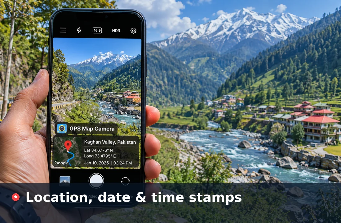
Four beginner-friendly steps turn a plain picture into a geotagged photo.
Pick a JPG, PNG or WebP image; on most phones the picker also opens the camera.
Use your current position or type the place name and coordinates.
Set the position, colours, date format and which details appear.
Check the preview, then save the stamped copy as JPG or PNG.
Ready to stamp your first picture? The whole process runs in your browser.
Add Location to PhotoEvery essential detail you need to make a photo self-explanatory, from exact coordinates to a tidy design that suits your style.
Place a clear location label on the image so viewers know exactly where it was taken without opening any file details.
Show the moment a photo belongs to, which helps when matching pictures with reports, receipts or travel days.
Display precise coordinates in decimal degrees or degrees, minutes and seconds for records that need an exact point.
Add a small map badge with a pin that gives the stamp a familiar visual cue at a glance.
Include a readable street, area or city line so people understand the place even without reading coordinates.
Switch between dark, light and yellow themes, add your own logo and resize text to match your photo.
One simple flow from the moment you take a picture to the moment someone else sees it.
Take a photo or pick one from your gallery and place the location, address, coordinates, date and time on it in one step.
Stamped photos explain themselves, and smart file names built from the place, date or coordinates keep folders tidy.
Send the stamped copy through WhatsApp, email or social apps. The details stay visible even when apps remove hidden metadata.
A visible stamp keeps the story of a picture attached to it.
A practical solution for travel, work and everyday needs.
Remember the exact viewpoint, trail or town behind each holiday shot.

Show progress at a specific site with a dated, located record.
Tie each sample or measurement photo to the point it came from.
Confirm where and when a drop-off or service visit happened.
Record the condition of a house or plot alongside its location.
Keep the place and date of special moments visible for years.
Location-stamped photos turn field work into records that are easy to check, share and file.
Record crop health, irrigation work and field visits with the exact plot location and date on every photo.
Show daily progress, snags and completed work with dated, located photos that clients and engineers can trust at a glance.
Tie water, soil and wildlife observations to precise coordinates so samples can be traced back to their source.
Add latitude and longitude to every measurement point and boundary marker for clean, verifiable survey reports.
Confirm installations, repairs and inspections at the customer site with time and place visible on the photo.
Support public works monitoring, scheme verification and inspections with location-stamped evidence photos.
Document vehicle, property and crop damage with the place and time of the visit printed directly on the image.
Confirm pickups, drop-offs and loading with photos that show where and when each delivery happened.
Report programme activities, distributions and field visits with clear location records for donors and partners.
Prove that hoardings, posters and banners were installed at the agreed location and remained in place.
Show properties and plots with their exact location and date, helping buyers, tenants and agents compare listings.
Create tidy, readable stamps that suit the picture instead of covering it.
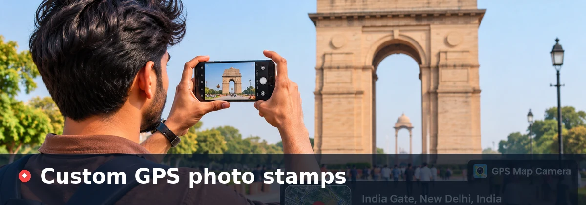
Learn what each part of a stamp means and how it is produced.
Two numbers marking the exact point on Earth, north–south and east–west.
A readable place name, street or city that people recognise quickly.
When the photo was taken, read from the file or set by you.
A small map-style badge with a pin to show the place visually.
Precision depends on your device and signal; the browser asks before sharing it.
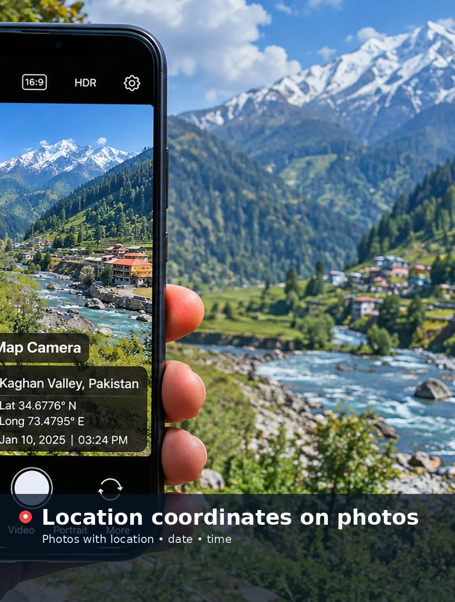
A visible stamp is printed on the pixels of the image. GPS metadata (EXIF) is hidden data inside the file, which some apps remove when sharing.
The GPS Map Camera mobile app adds stamps the moment you take a picture. These are the main features described in its store listing.
See the location, address, date and map stamp on the camera screen before you press the shutter.
Pick a ready-made stamp layout, from a simple text line to a detailed card with a map.
Change font, colour, size and position, and switch individual details on or off.
Save files with names built from the address, coordinates, date or time.
Send stamped pictures to WhatsApp, email and social apps straight after capture.
Set a location by hand when GPS is weak or you are stamping a known site.
Capture videos with the location and time stamp shown on screen.
Prefer stamping photos straight from the camera? Get the mobile app from the official stores.
The app adds GPS location, address, date, time and a map stamp the moment you take a photo, with templates, smart file names and quick sharing. It is free to download, with ads and optional in-app purchases.
GPS Map Camera
Geotag photos with location, date and map
No installation, no account and no complicated workflow.
GPS Map Camera Online works directly in your browser on a phone, tablet or computer. Upload an existing image, choose the location details, customise the stamp and save the geotagged copy in a few clicks, ready to share or attach to a report.
Your photo is processed on your own device and is not sent to a server, so you can stamp pictures quickly and privately.
Try GPS Map Camera Online Works in your browser
Small habits that make every stamped photo more reliable and easier to read.
Allow precise location for your browser or camera app, otherwise only an approximate area may be used.
Step outdoors and wait a few seconds; tall buildings and indoor rooms reduce precision.
Set your device clock to automatic time so the stamp matches the real moment.
Use the dark theme on bright scenes and the light theme on dark ones for strong contrast.
Move the stamp to an empty corner so the important part of the image stays clear.
Zoom into the preview and double-check spelling, coordinates and date before you save.
Find quick answers to common questions about GPS Map Camera, location stamps and privacy.
No matching question found. Try "free", "share" or "accurate".
A GPS Map Camera is a tool that adds location information to a photo as a visible stamp. The stamp can include the place name, address, latitude and longitude, date, time and a small map badge, so the picture explains where and when it was taken.
Upload your photo in the tool above, open the Location tab and either press Use My Current Location or type the latitude and longitude yourself. The coordinates appear on the live preview straight away, and you can save the stamped copy as JPG or PNG.
Yes. GPS Map Camera Online works with pictures already saved on your phone or computer. Upload the image, enter the location where it was taken and the tool prints those details onto a new copy, leaving your original file untouched.
Yes. The tool on this page runs in any modern browser on Android, iPhone, Windows, macOS or Linux. There is nothing to install and no account to create, and the stamping happens on your own device.
Open the Date tab, pick the date and time or press Use Current Date and Time, then choose a format such as 08 Jan 2025, 10:24 AM. If your JPG already contains a capture date in its metadata, the field fills in automatically after upload.
Only if you want to use your current position. The Use My Current Location button asks your browser for permission first. If you prefer not to share it, type the place name and coordinates manually and everything else works the same way.
Geotagging stores coordinates as hidden metadata inside the image file, which only certain apps can read. A GPS photo stamp prints the location details on the picture itself, so anyone can see them, even after messaging apps remove hidden data.
Yes. Edit the place name, address or coordinates fields and the preview updates instantly. Because a stamp can be edited this way, it is best used for organisation and documentation that you are responsible for.
Yes. In the Style tab choose Choose Logo and pick a PNG, JPG or WebP image. It appears in the title row of the stamp, and you can remove it at any time with Remove Logo.
The online tool on this website is completely free with no sign-up. The GPS Map Camera mobile app is free to download from Google Play and the App Store, and its store listing shows ads and optional in-app purchases for extra features.
The tool accepts JPG, PNG and WebP images up to 25 MB. Very large pictures are scaled so the longest side is 4096 pixels, which keeps the browser responsive while still giving a sharp result.
Save the stamped copy, then attach it in WhatsApp, email or any social app like a normal photo. Because the location is printed on the image, it stays visible even when the app removes hidden metadata. Choose JPG for a smaller file that sends quickly.
Location access needs a secure HTTPS page and your permission. It can also fail indoors, when location services are turned off or when the browser blocks the request. Check your settings, try again outdoors or enter the coordinates by hand.
Accuracy depends on your hardware and surroundings. Phones with GPS outdoors are usually precise to a few metres, while laptops that rely on Wi-Fi may be off by much more. The tool shows the accuracy reported by your browser after each lookup.
Yes, for JPG files that include EXIF metadata. When latitude, longitude or the original capture date are present, they are read on your device and placed into the matching fields.
No. The saved image is a fresh copy drawn in your browser, so hidden EXIF data from the original file is not carried over. The location details you chose are visible on the stamp instead.
No. Reading, previewing and saving all happen inside your browser using built-in features. Your pictures and location details are not transmitted to this website.
Yes. In the Date tab, set Coordinate format to Degrees, minutes, seconds and the stamp will show values such as 32°14'22.6"N alongside the matching longitude.
Use the Download section on this page, which links to the app's official listings on Google Play and the Apple App Store. This website is not affiliated with the app's developer; it offers a free browser tool and links to the official stores so you can choose either option.
A visible stamp shows the details you entered or your device provided, and those details can be changed. Many organisations accept stamped photos for internal records, but some require extra verification, so check their rules first.